Keren Ben-Hilell
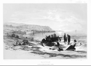
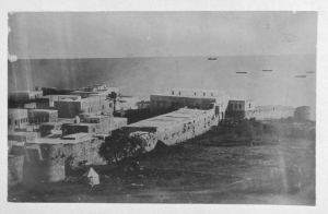
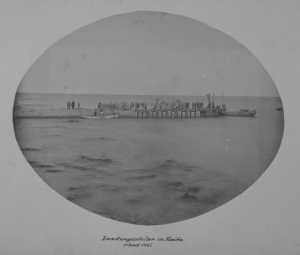
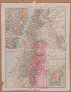
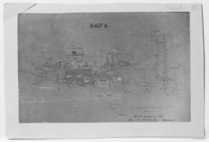
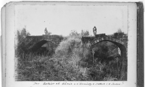
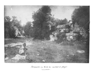
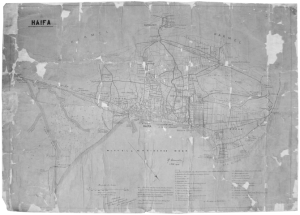
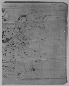
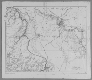
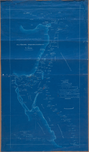
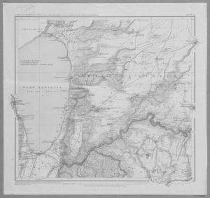
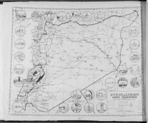
The exhibition displays rare graphic materials, most of which are presented to the public for the first time: historical maps, handwritten drafts of maps using pencils and colors, and plans created by the architect and cartographer Gottlieb Schumacher (1857-1925). Also exhibited photographs taken by Schumacher and his team, which documented the survey and mapping expedition of the Levant during the Ottoman empire era. The photographs and maps, which were found in the process of reorganizing the collection of the Avie and Sarah Arenson Built Heritage Research Center in the Faculty of Architecture and Town Planning at the Technion, and the maps from the Nessyahu Historical Archive, Elyachar Central Library at the Technion, are on display for the first time and provide a scarce glimpse into the local and regional past.
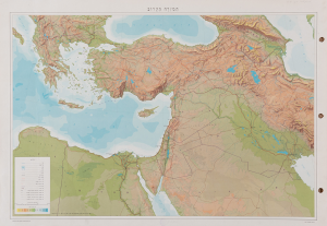
The exhibition presents the Levant, a geographical area located on the eastern shores of the Mediterranean, and focuses on the cosmopolitan port city of Haifa, as a gateway and a bridge between the regions of the Mediterranean and the Near East. The exhibition presents the epic age of the development of the city and the northern area of the Levant, from the end of the Ottoman period until the eve of the establishment of the State of Israel. The exhibition has two main components: the first leads the viewer through time, displaying original historical maps, and focuses on the growth and change of the city of Haifa over the generations. The second tells the story of the Middle East and the importance of Haifa in it through the personal journey of the renowned cartographer Gottlieb Schumacher during the Ottoman Empire.
The map, as a visual object, is a source of valuable information. Physical-topographical information, information that is supposedly objective, describes the physical space from bird’s eye view. Furthermore, the map embodies worldviews, governmental, religious and national agendas. The map contains visual and textual information that attests to its creators. The language or languages that appear on it reveal to the viewer by whom it was created, who drafted it, and no less important, to whom it was created for.
Gottlieb Schumacher is one of the key figures in the history of cartography in Palestine. His contribution to the design of the graphic language of maps is as important as his contribution to the study and development of this region. Gottlieb Schumacher was born in Ohio, the United States, to a German father and emigrated to Haifa as a boy during the establishment of the German-American Colony (as referred to in his maps) near the city. He learned from his father the basics of engineering and mapping, and after several years of vocational training in Germany, he returned to Haifa in 1885 and became an engineer for the Acre region. The position enabled him freedom of movement within the Levant, which he used to map and document the area and its archeological sites. In 1891, after his father’s death, he was appointed deputy consul of the United States in Haifa. In contrast to his fellow settlers of the rural German colony, Schumacher was absorbed into the Ottoman world, spoke Arabic, and cooperated with both private entrepreneurs and government institutions. During the project of establishing the railway line from Haifa to Damascus, he was responsible for mapping the route of the train and marking it. The photographs and maps reveal Schumacher’s personal experience and allow the viewer to return in time and to discover the work of the cartographer, and the representation of reality through the maps he created.

