Haifa, 1908
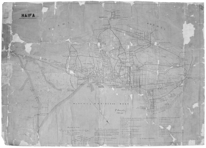
1:10,000
Adschlun, Aufnahme Der Abhang des Ghor 1901
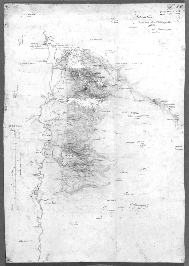
1:63,360. 45/65 cm Ajloun, Handwritten Map (Draft) of the Ajloun Region, The Ghur Slope, 1901
Haifa on the sea coast, 1899

1:2,000. 28/93 cm Plan V, Haifa on the sea coast, 5.7.1899. Gottlieb Schumacher ב־1884 שומאכר יצר סקיצה ראשונה לתכנית, וב־1889 הכין תכנית משופרת ‘Haifa on the sea coast’. התכנית כללה ייבוש של רצועת חוף שעליה יוקם המזח ודרך חדשה מצפון לעיר ההיסטורית – לאורך האזור המסחרי של העיר של דאהר אל עומר – מהסראייה עד […]
Zeltlager, et-taijibe 1896
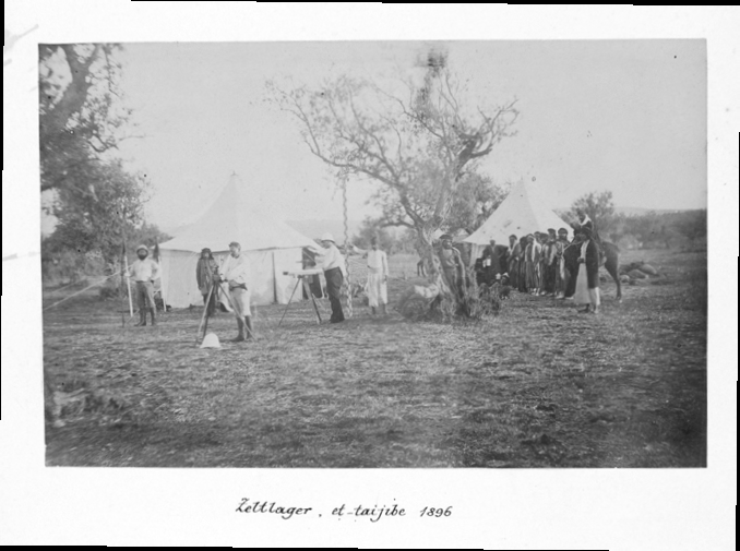
Campsite, Eltaiyiba(?) 1896
Felspartie im Wald bei marbad el_ ghazal adschlun
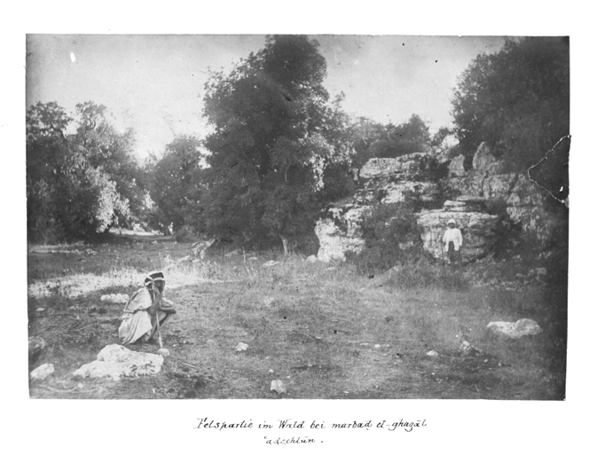
Forests nearby Marbad El-Ghazal, Ajloun
Der dschisr ed damie a.d. Einmundg d. Jabbok id. Jordan
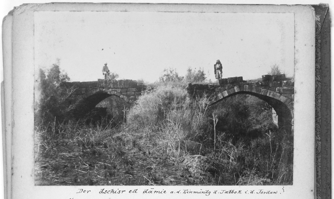
Bridges at the meeting point of the Zarqa and Jordan River.
Haifa, 1894
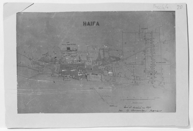
The format of the city of Haifa, 1894
Palästina
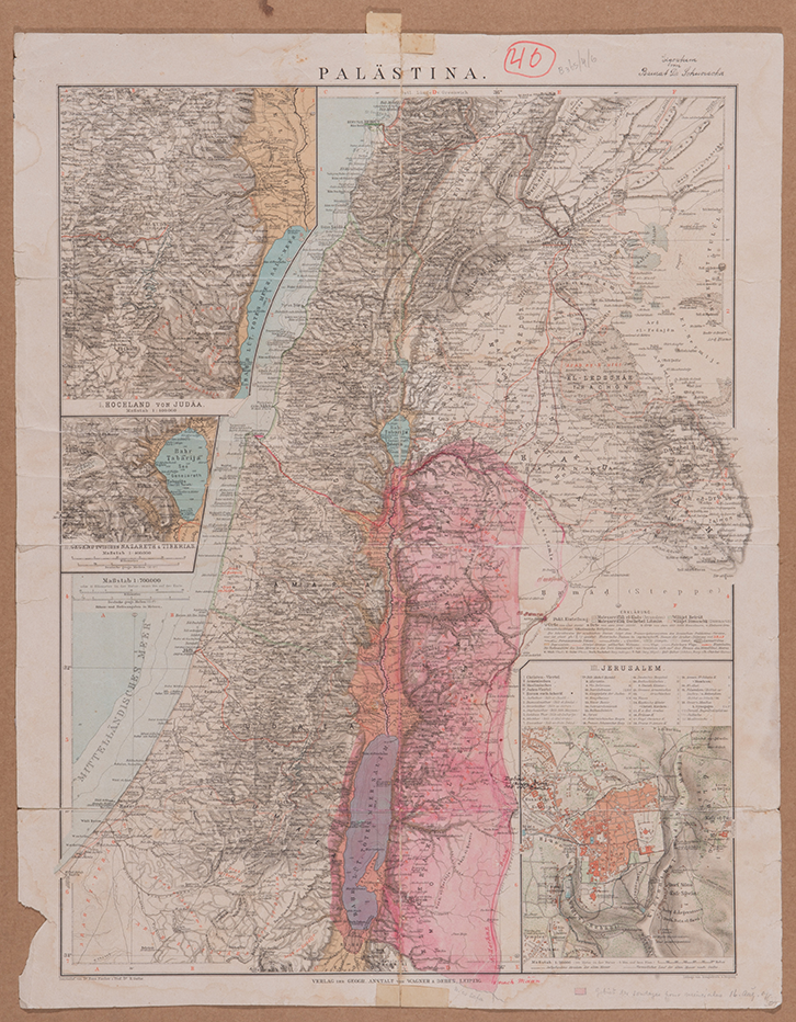
.aus: E. Debes Neuer Handatlas, Fischer Hans & Guthe h 1:700,000. 53/42 cm Palestine, from: a. Debs the new atlas, Fisher Hans Vogot, Lebanon to the Arava, 1. Judean Hills, 2. Nazareth and Tiberias, 3. Jerusalem
Plan de Serail Projete, Haifa, 1886
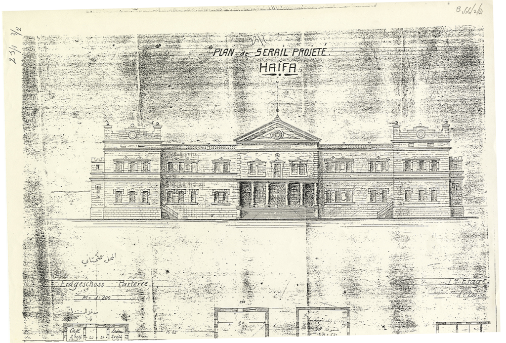
1:200. 30/42 cm The Seraya Building Project Plan, Haifa, Front, ground plan, first floor in public building, 1886
Landungspfeiler in Haifa erbaut 1886
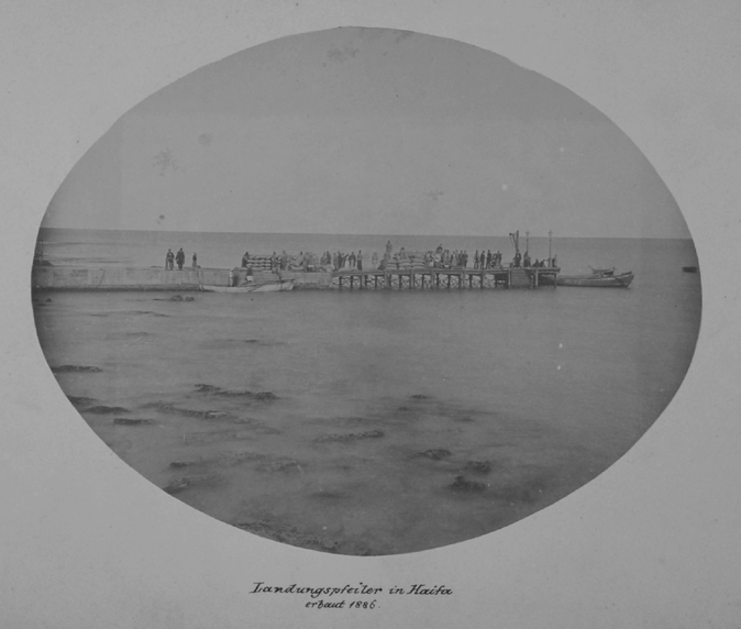
The loading dock in Haifa, was built in 1886


