The Exhibition
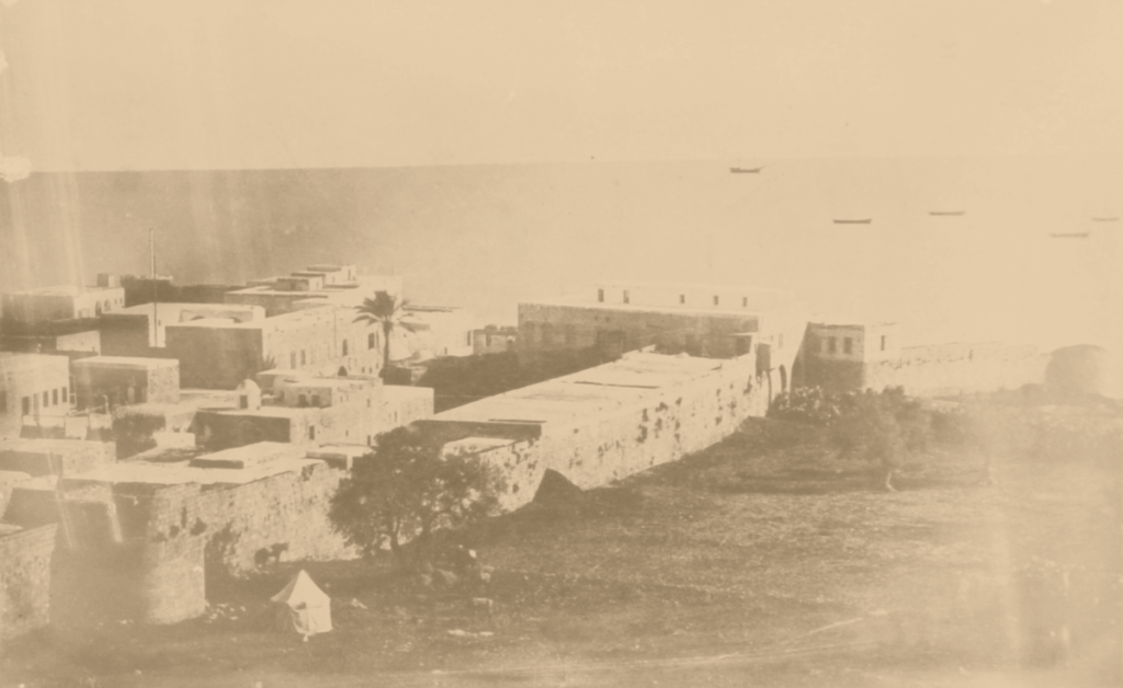
Schumacher’s Mapping as an Engine for Modernizing the Middle East, 1839-1959
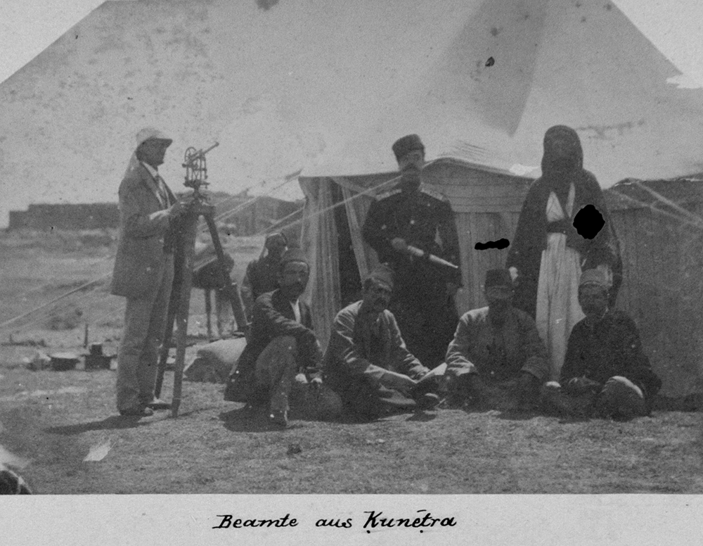
Keren Ben-Hilell The exhibition displays rare graphic materials, most of which are presented to the public for the first time: historical maps, handwritten drafts of maps using pencils and colors, and plans created by the architect and cartographer Gottlieb Schumacher (1857-1925). Also exhibited photographs taken by Schumacher and his team, which documented the survey and […]
The Near East, September 1959
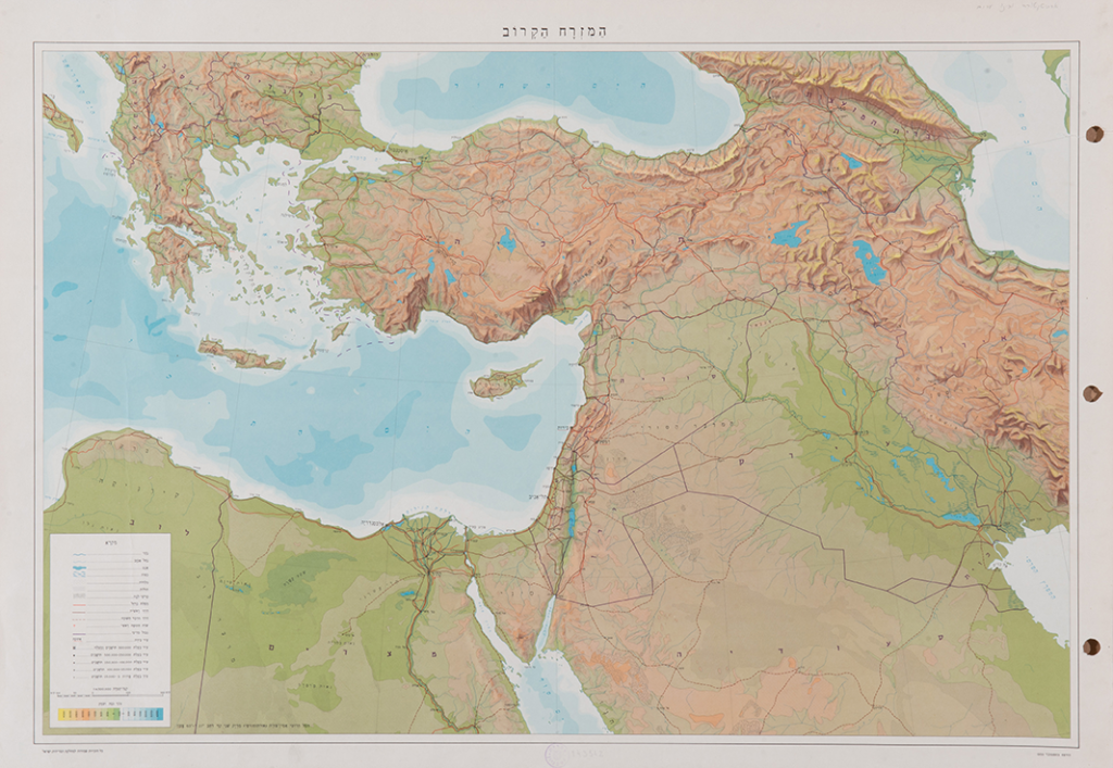
1:4,500,000. 48/67 cm Near East, A conical projection is a reliable form, Israel and Neighboring Countries. September 1959.
Trans-Jordan Track map, 1945
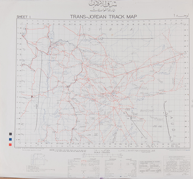
1:500,000. 68/78 cm Railway Map of the Transjordan, 1945
FeSyrie Liban- Carte Touristique, 1942
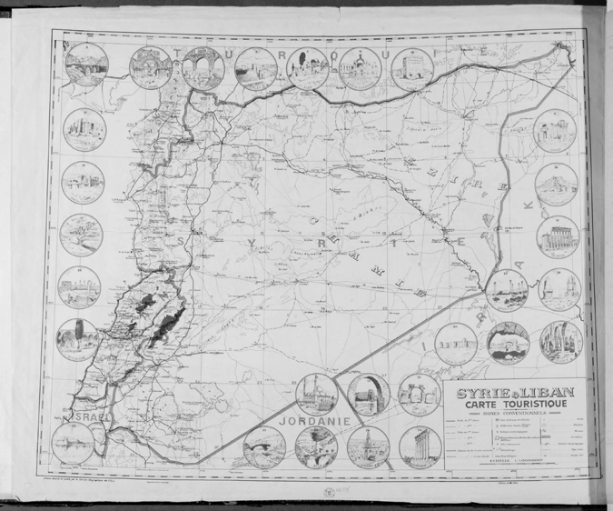
1:1,000,000. 66/81 cm Tourist Site Map of Syria and Lebanon, 1942
Kada el Kunetra, Kada el Tabariya, 1920
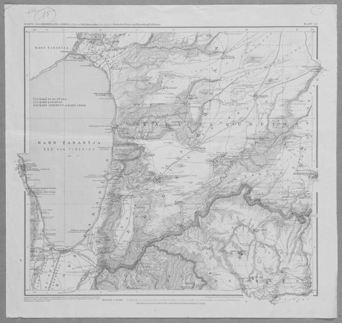
1:63,360. 52/54 cm Kada (sub-district) Quantra , Kada (sub-distric) Tiberias, 1920
Militarische Wasserversorgung, 1917
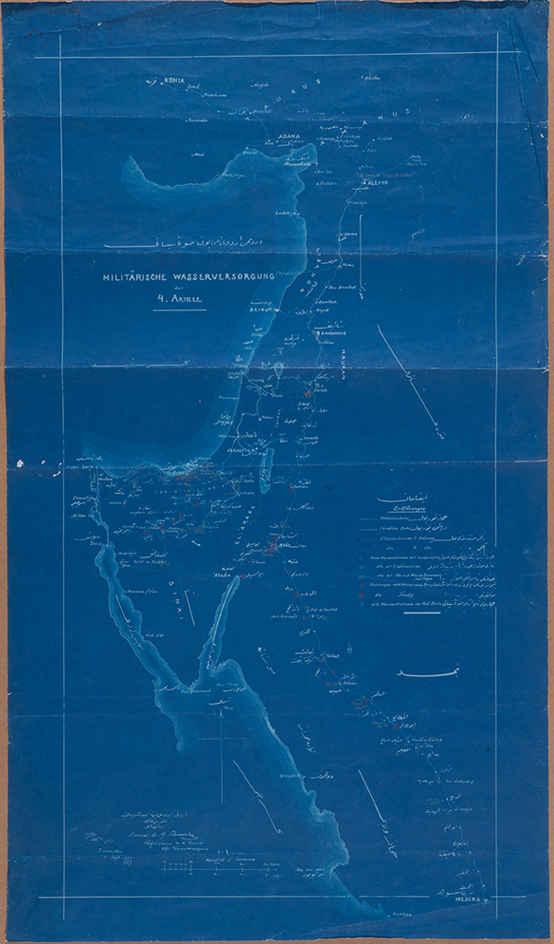
Turkey, Egypt, Saudi Arabia ,Jordan, Syria. 1:2,000,000. 90/52 cm Military Water Supply Map for the Turkish Fourth Army, Palestine, Jordan, Syria, Saudi Arabia, Egypt, 1917; 1333 Hijra year.
Hauran Ez Zedi, Muresarrifije Hauran Karte d. Ostjordan
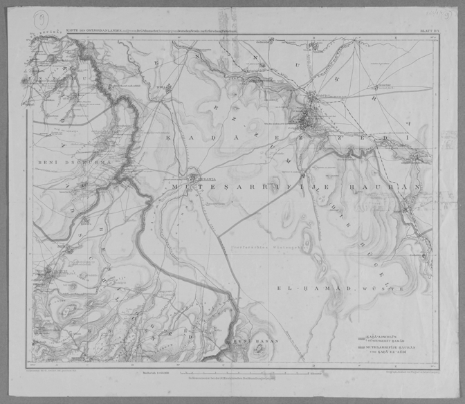
b 4, Deutscher Verein zu Erforschung Palästinas, 1911–1913/ 1920 1:63,360. 52/54 cm Map of Horan district, sub-district al-Zadi, appears as section B4 on the index map of Transjordan, German Association for the Study of the Land of Palestine, Mapping 1911-13, modification 1916, print 1920.
Feuille D. (Haifa). 1912
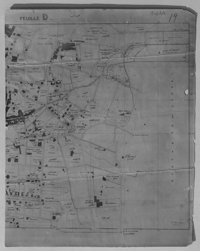
25/20 cm Mountain Slope Plan, Haifa. Handwritten Draft in Pencil, Urban Plan. 8.3.1912
Viella de Haifa, 1911
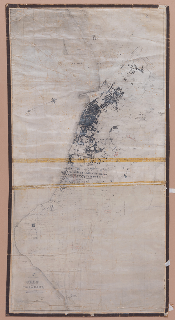
1:6,000. 100/50 cm Map of Haifa and the Carmel, 1911


